|
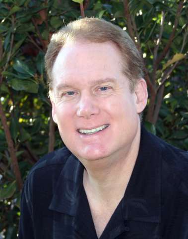
Tom Loffman's Sacramento Weather Forecasts and Information |
|---|
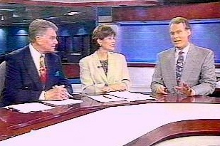 Stan Atkinson, Jennifer Whitney, Tom Loffman, 1999 |
As you may know, since 2005 I have been working with my wife Debbie
in Real Estate and Property Management. If you click on our logo it will take you to our company web site so you can
find out more about our services. |
|---|
|
|---|
|
|
|---|


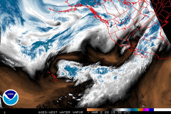


GOES NE Pacific Water Vapor Satellite Loop
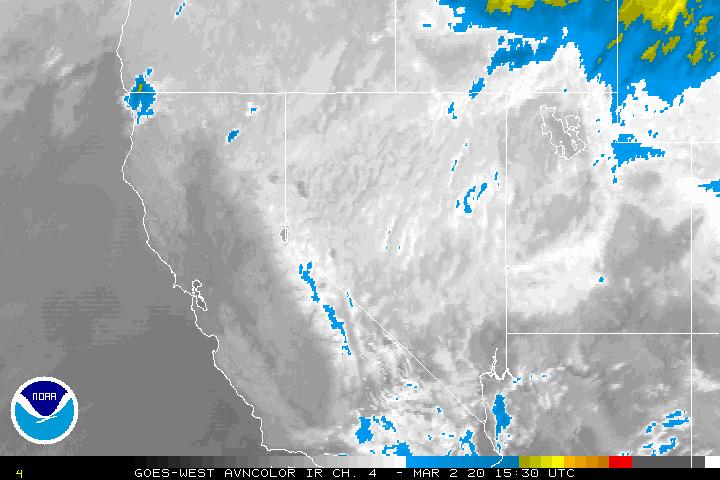
GOES NE Pacific AVN Color Satellite Loop
GOES NE Pacific Visible Satellite Loop
Latest Weather Books from Amazon.com

Search for Weather Items on eBay
.jpg)
.jpg)


